Get a Bird’s-Eye View of Your Infrastructure
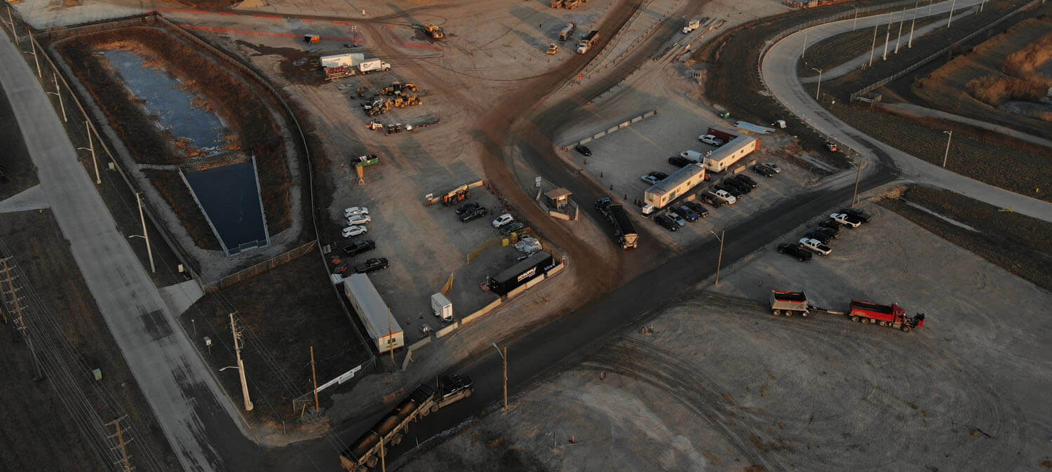
MES provides energy and telecommunication companies with drone patrolling services to help identify system improvements that may not have been possible to identify on the ground.
Our Process
We use the enterprise-grade Matrice 210 V2 drone developed by DJI for drone inspections. This model has the durability required for construction settings as well as the safety and data security features we need to protect our clients’ interests. It can travel up to 8km on a single charge, making it ideal for pipeline or transmission line patrolling.
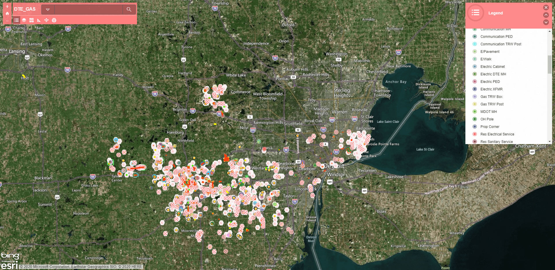
Our drone comes equipped with 3 cameras (infrared, 30x optical zoom, and high-megapixel capabilities) and a battery set-up that allows continued operation without downtime for recharging. We capture aerial photos of critical infrastructure such as utility poles and post them in our Esri GIS system where they can be analyzed for potential system improvements.
MES Specialized in the Following Drone Inspection Services:
Overhead drone patrolling
Integration of aerial photos with Esri GIS systems
Assessing overhead lines for improvements
Establishing, validating, and updating overhead scope documents
Contact us today to learn more about drone inspections.


