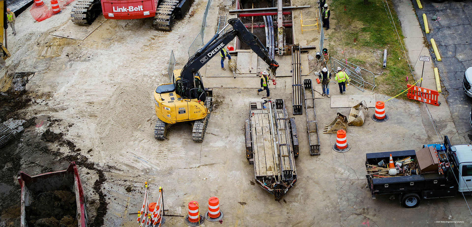
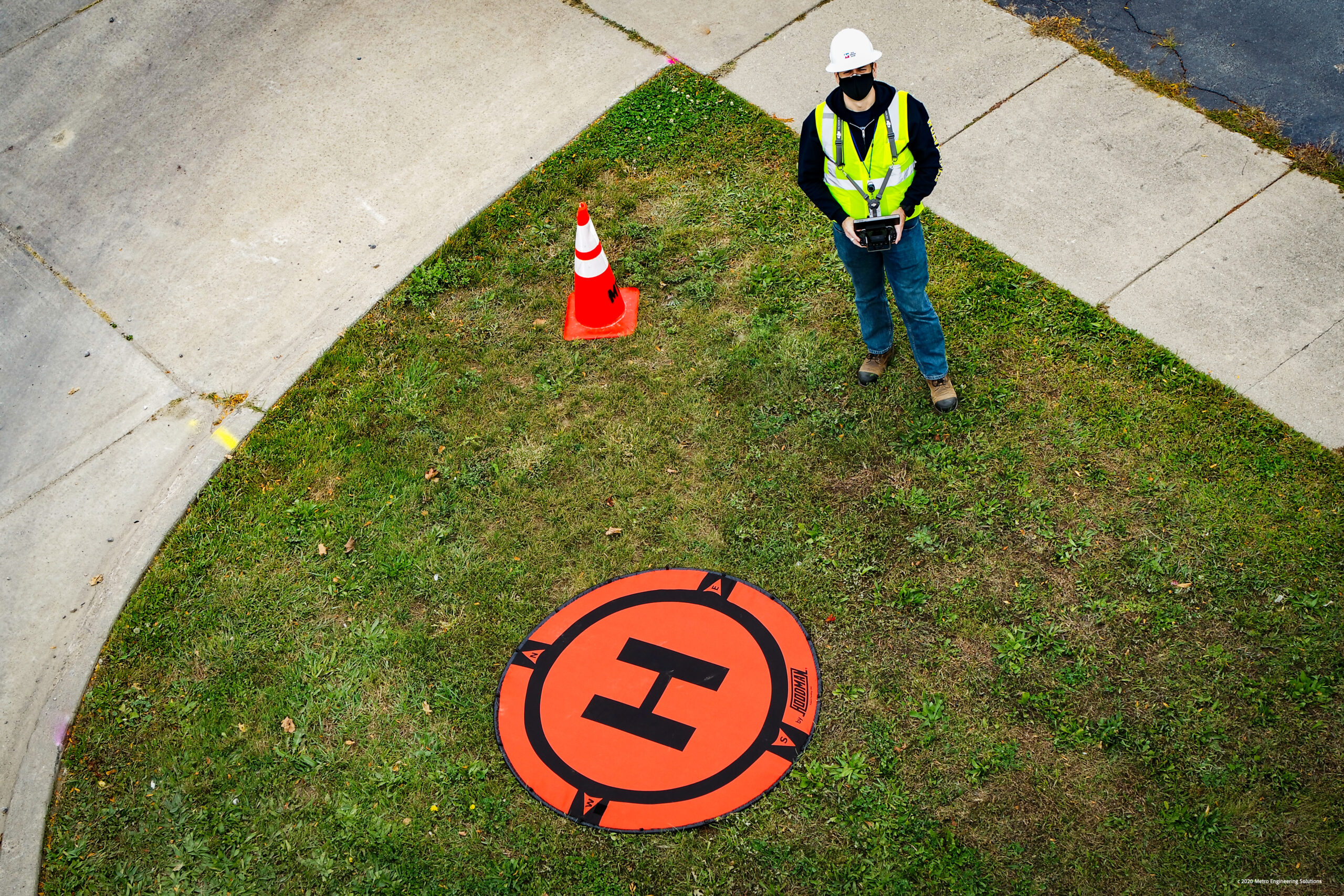
Get a 30,000-Foot View of Your Project
MES has been using geographic information systems (GIS) for utility and telecom projects. It’s a critical tool for making sense of large amounts of data and outputting timely insights to feed into the design process.
Our Process
MES uses Esri GIS mapping software and SQL databases to organize your data points, workflow, crew routing, project reporting, invoicing, and quality. We also use our own internally developed work management systems, which are especially valuable for large utility customers.
Our aim with every GIS project is to provide consistent data to manage your project and crews at a lower cost. We understand that every project and customer has specific requirements. That’s why we build templates that can be updated and modified to satisfy any requirement. This ensures our services are flexible but also efficient and cost-effective.
Contact MES today for help with:
- Mapping locations and data collection
- Custom mapping solutions for asset management
- Custom data collection for managing system design and construction
- Data management
- SQL database
- Python, Arc
- Form creation
- Project reporting
- Project invoicing
- Data collection
- Customized programs for mapping
- Database support customized for specific projects or deliverable
- Customized routing solutions for large volume field projects
- Process improvement and operational support
- Functional tools for managing
- Workflow management tool to support and track project milestones
- Realtime data collection
Contact us today to learn how your project could benefit from GIS mapping.