Topographical and Utility Mapping
The early identification of utility conflicts with the proposed conduit path is critical. Finding conflicts early allows us to minimize costs by making design and route changes during the design phase, thereby avoiding downtime or rework during construction.
Our Process
We follow a simple process for topographical and utility mapping to generate a plan view of the project area and identify conflicts:
- Submit MISS DIG design ticket
- Show existing utility information in the plan view
- Add new structures within the right-of-way (R/W)
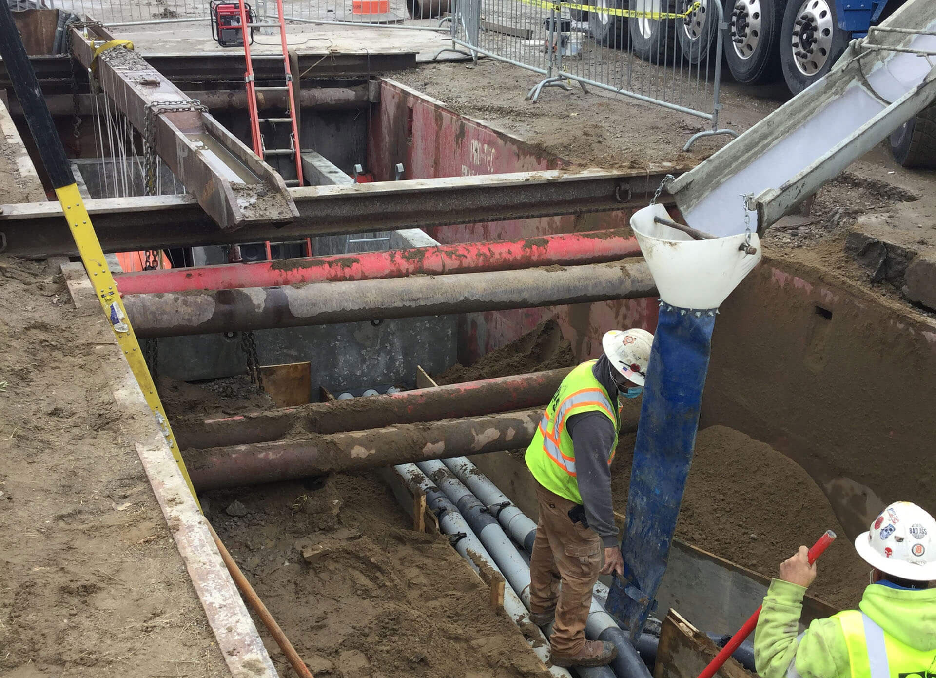
- Survey the right-of-way and any existing utility structures, such as pedestals, manholes, valves, and hydrants using mobile Lidar and conventional surveying techniques
- Enter existing structures and verify the depth to create a profile
- Expose existing utilities and survey depth and location, if required
- Create a plan view with the proposed new structure within the work area
- Identify all potential conflicts
Contact MES today for our expertise in topographical and utility mapping.